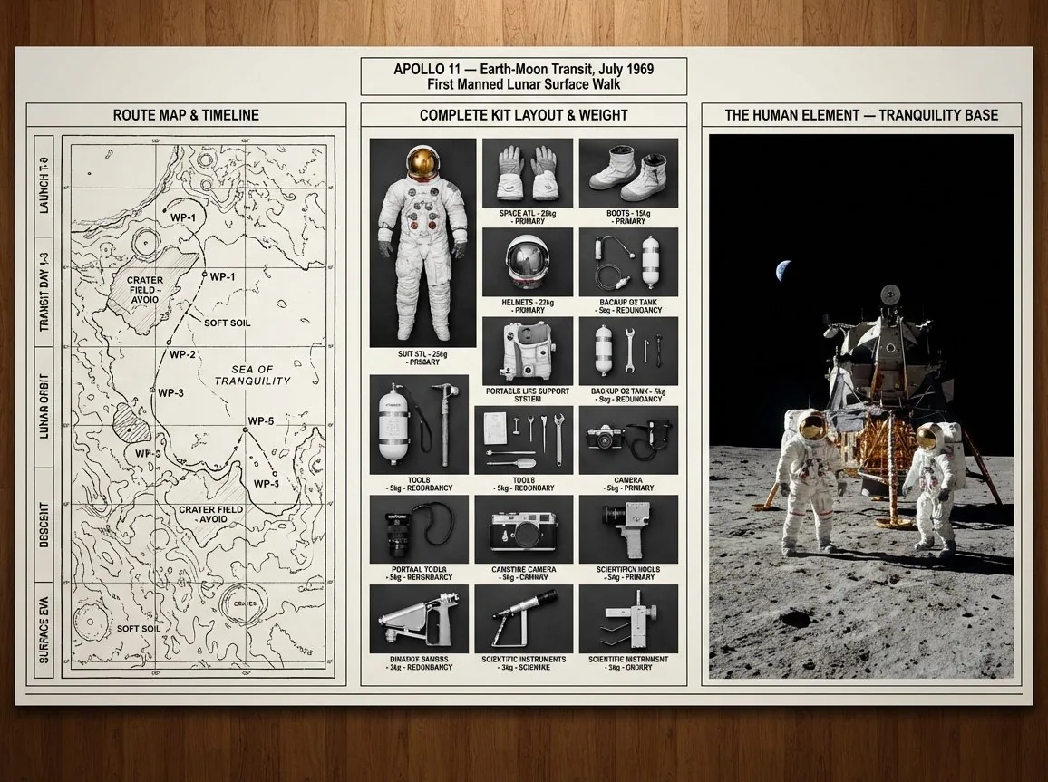
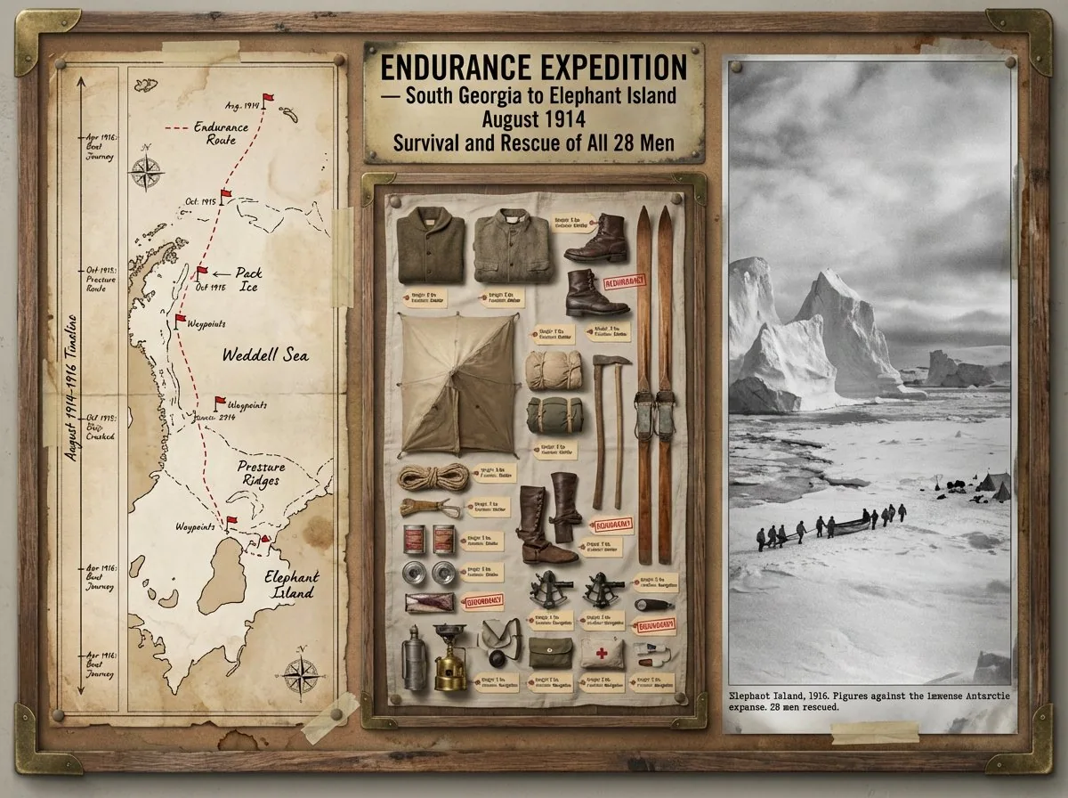
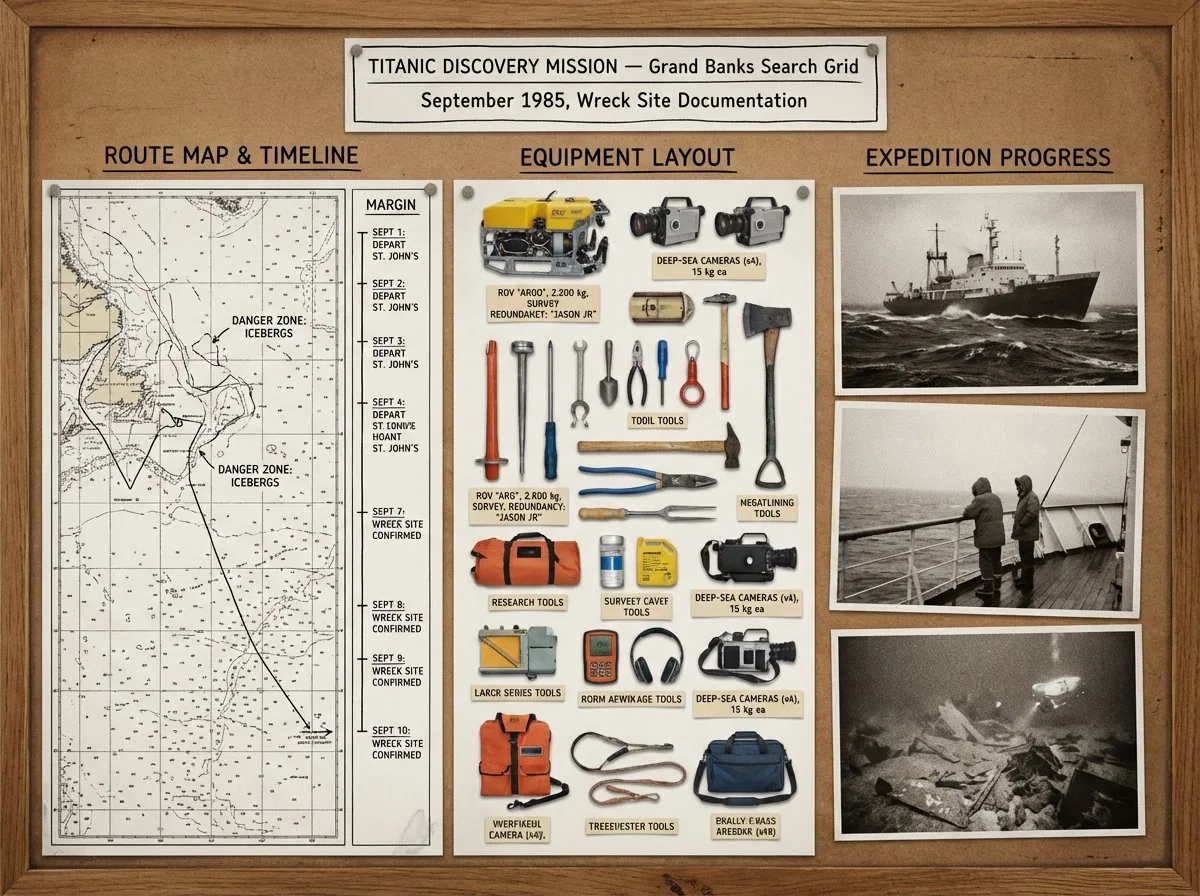
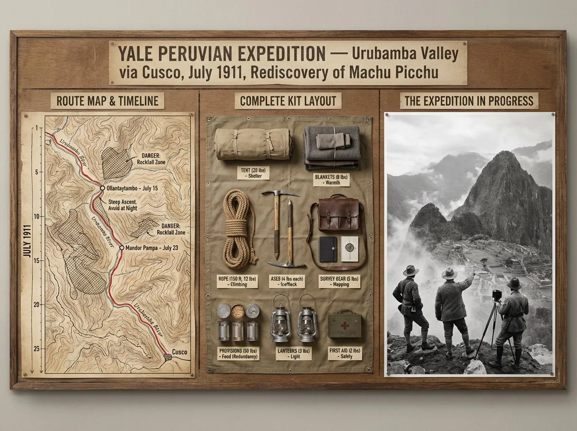
A strategic command board for an expedition leader planning [JOURNEY / MISSION] to [DESTINATION / ERA]. Left panel: detailed topographic route map with labeled waypoints, annotated danger zones, and a timeline running along the edge. Center panel: overhead flat lay of every piece of kit in neat organized rows, each item tagged by weight and function, redundancies flagged, nothing unnecessary included. Right panel: the expedition in motion or the destination reached, small human figures against a vast landscape, scale unmistakable. Visual language shifts from cartographic precision through functional inventory documentation to sweeping epic environmental photography. Title block reads: "[EXPEDITION NAME] — [ROUTE], [DATE], [OBJECTIVE]".
한국어 번역
[여정 / 임무]를 [목적지 / 시대]까지 계획하는 탐사대 리더를 위한 전략 커맨드 보드. 왼쪽 패널: 라벨이 붙은 경유지, 주석이 달린 위험 구역, 가장자리를 따라 흐르는 타임라인이 있는 상세 지형 경로 지도. 가운데 패널: 모든 장비를 가지런히 정리한 오버헤드 플랫 레이, 각 항목에 무게와 기능을 태그하고 중복 품목은 표시하며 불필요한 것은 아무것도 넣지 않는다. 오른쪽 패널: 이동 중인 탐사대 또는 도달한 목적지, 광활한 풍경 앞의 작은 인간 형상들, 압도적인 규모감. 시각 언어는 지도 제작의 정밀함에서 기능적 장비 목록 문서로, 다시 웅장한 서사적 환경 사진으로 전환된다. 제목 블록에는 이렇게 적힌다: "[원정 이름] — [경로], [날짜], [목표]".