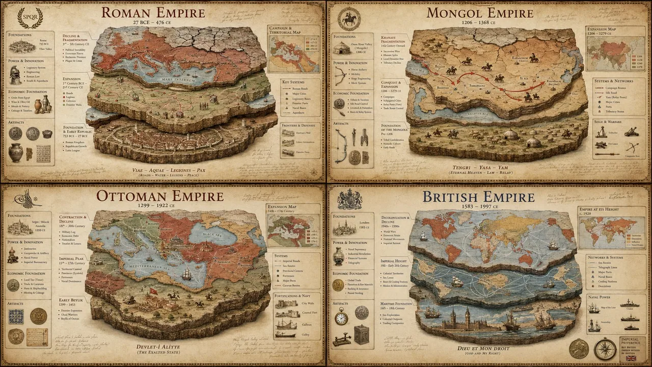
SYSTEM: Render the input as a luxury historical civilization stratigraphy poster. Do not hardcode dates unless inevitable. Infer the territorial expansion phases, economic foundation pillars, military innovation cycles, cultural assimilation patterns, and the geological layers of decline. SEMANTIC SOLVE: EMPIRE_AUTOPSY = (INFER(territorial_architecture FROM founding_core + expansion_vectors + frontier_fortifications + trade_route_control + vassal_networks) ::5) + (INFER(economic_pillars FROM agricultural_base + mineral_resources + taxation_system + currency_standard + labor_organization) ::4) + (INFER(military_innovation FROM weapon_technology + tactical_doctrine + logistics_chain + fortification_engineering + naval_capacity) ::4) + (INFER(decline_mechanics FROM succession_crises + economic_inflation + frontier_pressure + internal_rebellion + environmental_stress) ::3) - (generic timeline infographics + cartoon maps + cluttered textbook layouts + stock-photo ruins + cheap educational posters) ::-4 COMPOSITION: One central empire visualized as a multi-layered archaeological cross-section. The bottom layer shows the founding settlement, middle layers reveal territorial expansion through colored strata, and the top layer displays the fragmentation pattern. Surrounding the core are floating callouts showing key battles, economic indicators, and dynastic transitions mapped as physical artifacts. Use callout lines like an archaeological dig site report crossed with a military campaign map. STYLE DNA: Ancient Roman Tabula Peutingeriana ::0.30 archaeological stratigraphy diagram ::0.25 vintage military campaign map ::0.20 museum exhibit infographic ::0.15 aged parchment with stain texture ::0.10 OUTPUT: Warm sepia or deep terracotta background luxury history poster, elegant classical serif + handwritten annotation typography, restrained callouts, hyper-realistic map textures, refined aging effects, premium negative space. NEGATIVE: no holograms, no glowing elements, no VR/AR overlays, no modern digital maps, no cartoon illustrations, no cluttered timelines, no stock-photo emperors, no watermark, no anachronistic elements.
한국어 번역
SYSTEM: 입력을 럭셔리 역사 문명 지층 포스터로 렌더링하세요. 불가피한 경우가 아니면 날짜를 하드코딩하지 마세요. 영토 확장 단계, 경제 기반 축, 군사 혁신 주기, 문화 동화 패턴, 쇠퇴의 지질학적 층위를 추론하세요. SEMANTIC SOLVE: EMPIRE_AUTOPSY = (INFER(territorial_architecture FROM founding_core + expansion_vectors + frontier_fortifications + trade_route_control + vassal_networks) ::5) + (INFER(economic_pillars FROM agricultural_base + mineral_resources + taxation_system + currency_standard + labor_organization) ::4) + (INFER(military_innovation FROM weapon_technology + tactical_doctrine + logistics_chain + fortification_engineering + naval_capacity) ::4) + (INFER(decline_mechanics FROM succession_crises + economic_inflation + frontier_pressure + internal_rebellion + environmental_stress) ::3) - (generic timeline infographics + cartoon maps + cluttered textbook layouts + stock-photo ruins + cheap educational posters) ::-4 COMPOSITION: 하나의 중앙 제국을 여러 겹의 고고학적 단면으로 시각화합니다. 바닥층은 건국 정착지를 보여주고, 중간층은 색상별 지층을 통해 영토 확장을 드러내며, 최상층은 분열 패턴을 표시합니다. 핵심부 주위에는 주요 전투, 경제 지표, 왕조 전환을 물리적 유물처럼 매핑한 떠 있는 콜아웃이 배치됩니다. 고고학 발굴 현장 보고서와 군사 작전 지도를 교차시킨 듯한 콜아웃 선을 사용하세요. STYLE DNA: 고대 로마 타불라 포이팅게리아나 ::0.30 고고학 지층 도표 ::0.25 빈티지 군사 작전 지도 ::0.20 박물관 전시 인포그래픽 ::0.15 얼룩 질감이 있는 오래된 양피지 ::0.10 OUTPUT: 따뜻한 세피아 또는 깊은 테라코타 배경의 럭셔리 역사 포스터, 우아한 클래식 세리프 + 손글씨 주석 타이포그래피, 절제된 콜아웃, 초현실적인 지도 질감, 세련된 에이징 효과, 프리미엄 여백. NEGATIVE: 홀로그램 없음, 빛나는 요소 없음, VR/AR 오버레이 없음, 현대 디지털 지도 없음, 만화 일러스트 없음, 어수선한 타임라인 없음, 스톡 사진 황제 없음, 워터마크 없음, 시대착오적 요소 없음.