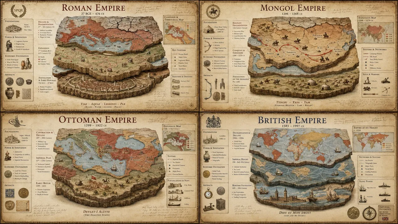
SYSTEM: Render the input as a luxury historical civilization stratigraphy poster. Do not hardcode dates unless inevitable. Infer the territorial expansion phases, economic foundation pillars, military innovation cycles, cultural assimilation patterns, and the geological layers of decline. SEMANTIC SOLVE: EMPIRE_AUTOPSY = (INFER(territorial_architecture FROM founding_core + expansion_vectors + frontier_fortifications + trade_route_control + vassal_networks) ::5) + (INFER(economic_pillars FROM agricultural_base + mineral_resources + taxation_system + currency_standard + labor_organization) ::4) + (INFER(military_innovation FROM weapon_technology + tactical_doctrine + logistics_chain + fortification_engineering + naval_capacity) ::4) + (INFER(decline_mechanics FROM succession_crises + economic_inflation + frontier_pressure + internal_rebellion + environmental_stress) ::3) - (generic timeline infographics + cartoon maps + cluttered textbook layouts + stock-photo ruins + cheap educational posters) ::-4 COMPOSITION: One central empire visualized as a multi-layered archaeological cross-section. The bottom layer shows the founding settlement, middle layers reveal territorial expansion through colored strata, and the top layer displays the fragmentation pattern. Surrounding the core are floating callouts showing key battles, economic indicators, and dynastic transitions mapped as physical artifacts. Use callout lines like an archaeological dig site report crossed with a military campaign map. STYLE DNA: Ancient Roman Tabula Peutingeriana ::0.30 archaeological stratigraphy diagram ::0.25 vintage military campaign map ::0.20 museum exhibit infographic ::0.15 aged parchment with stain texture ::0.10 OUTPUT: Warm sepia or deep terracotta background luxury history poster, elegant classical serif + handwritten annotation typography, restrained callouts, hyper-realistic map textures, refined aging effects, premium negative space. NEGATIVE: no holograms, no glowing elements, no VR/AR overlays, no modern digital maps, no cartoon illustrations, no cluttered timelines, no stock-photo emperors, no watermark, no anachronistic elements.